Revised draft Local Plan: Places
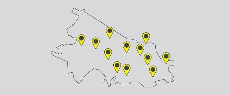
The boundary area that the Old Oak and Park Royal Development Corporation covers is around 650 hectares. In order to create a robust and meaningful Local Plan for this area, the land has been broken down in to more manageable and practical places.
This section of the Local Plan gives a strong sense of the overall connections and feel of how the regeneration and development of the area will connect and join up with the surrounding areas.
You said, we did
- In the previous consultation phase, there were 10 places detailed. Following your feedback we have created an additional 2 places, and have created ‘clusters’ which allow policy to be expanded and appropriate for specific locations
- We’ve also amended some of the previously existing places to reflect the responses submitted
- We’ve shared the specific locations of how we want to create 30% open space
- We’ve shown greater clarify on where the Strategic Industrial Location (SIL) is being released in Old Oak to allow for more residential use and where it is being protected to ensure that west London can carry on to promote and support industrial use
Where are the new and extended places?
The new and extended places are:
- P5 – Old Park Royal (new)
- P8 – Old Oak Lane and Old Oak Common Lane (new)
- P10 – Scrubs Lane (extended)
- P11 – Willesden Junction (new)
*The High Street was originally a place, but was removed as guidance for it is now provided in the Strategic Policies.
What are clusters?
Clusters are areas of intense activity focused on stations, town centres or key movement routes and crossings. As a result of this activity, these areas need more attention and detail in order to make sure they work well for local residents, businesses and visitors.
What does the site allocation map show?
The site allocation map shows the 28 sites that we have identified as able to demonstrate the delivery of new homes and new jobs in Old Oak and Park Royal.
What do the different colours mean on the diagrams?
The illustrations of the 12 places and 11 clusters, are indicative diagrams for the areas and as a result are not referred to as maps.
The key for the colours used:
- Yellow = new major high street and public realm areas
- Vibrant green = new Local Parks
- Soft green = other new and improved open spaces
- Green lines = new and improved walking and cycling routes
- Grey = stations and other infrastructure
- Dark grey = new and improved streets
- Vibrant pink circles = places with an underpass, bridge and/or improved junction
- Soft red = heritage buildings
- Soft pink = existing residential communities
- Beige = Strategic Industrial Location
- Turquoise = two-way cycle lane
- Vibrant pink lines = Park Road
- Dark blue = clusters
- Purple = active or positive frontages
Exhibition boards
There are 12 places within the revised draft Local Plan, view the exhibition boards for each:
- Old Oak South
- Old Oak North
- Grand Union Canal
- Park Royal West
- Old Park Royal
- Park Royal Centre
- North Acton and Acton Wells
- Old Oak Lane and Old Oak Common Lane
- Channel Gate
- Scrubs Lane
- Willesden Junction
- Wormwood Scrubs
As well as the Delivery and implementation exhibition board
Need a document on this page in an accessible format?
If you use assistive technology (such as a screen reader) and need a version of a PDF or other document on this page in a more accessible format, please get in touch via our online form and tell us which format you need.
It will also help us if you tell us which assistive technology you use. We’ll consider your request and get back to you in 5 working days.