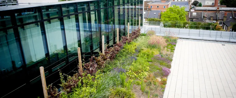
Green roof map
Our green roof map was last updated in 2014 and will not be kept live given newer ways to track the creation of new green roofs. It shows that at that time there were around 700 green roofs in central London alone, covering an area of over 175,000m2. That’s 17.5 hectares or around 25 football pitches.
On the map you can click on a green roof to see its location, a short description of the green roof type, and an estimate of the area it covers. You can also search by postcode and switch between a map or aerial photograph.
How did we do it?
The green roof map was produced by the GLA and the Green Roof Consultancy by studying aerial images of London taken in 2013 (by The Geoinformation Group), plus other data compiled during 2014.
Need a document on this page in an accessible format?
If you use assistive technology (such as a screen reader) and need a version of a PDF or other document on this page in a more accessible format, please get in touch via our online form and tell us which format you need.
It will also help us if you tell us which assistive technology you use. We’ll consider your request and get back to you in 5 working days.